Dataset of GF-2 satellite images (2017)
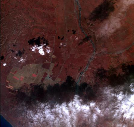
Gf-2 satellite is the first civil optical remote sensing satellite independently developed by China with a spatial resolution better than 1 meter. It is equipped with two high-resolution 1-meter panchromatic and 4-meter multi-spectral cameras, and the spatial resolution of the sub-satellite can reach 0.8 meters. This data set is the remote sensing image data of 6 jing gaofen-2 satellite in 2017.The folder list is: GF2_PMS1_E100.5_N37.2_20171013_L1A0002678101 GF2_PMS1_E100.5_N37.4_20171013_L1A0002678097 GF2_PMS1_E100.6_N37.6_20171013_L1A0002678096 GF2_PMS2_E100.3_N37.4_20170810_L1A0002534662 File naming rules: satellite name _ sensor name _ center longitude _ center latitude _ imaging time _L****
File naming rules: satellite name _ sensor name _ center longitude _ center latitude _ imaging time _L**** Data reading: the data is stored in raster tiff format, which can be opened and read by Envi, Arcgis and other remote sensing software
To respect the intellectual property rights, protect the rights of data authors, expand services of the data center, and evaluate the application potential of data, data users should clearly indicate the source of the data and the author of the data in the research results generated by using the data (including published papers, articles, data products, and unpublished research reports, data products and other results). For re-posting (second or multiple releases) data, the author must also indicate the source of the original data.
三江源国家公园星空地一体化生态监测及数据平台(SJYNP)
1.Dataset of plant distribution investigation in Three-River-Source National Park (2008-2017)
2.Dataset of ZY-3 satellite images (2017)
3.Dataset of GF-1 satellite images (2017-2018)
4.Dataset of wild animal distribution investigation in Three River Source National Park (2017)
5.Dataset of ZY-3 02 satellite images (2017)
6.The dataset of community statistics of each county in Three-River-Source National Park (2017)
No record
No record
Sign In to add comments

三江源国家公园星空地一体化生态监测数据平台 © 2018-2021 陇ICP备05000491号 | All Rights Reserved
|  京公网安备11010502040845号
数据中心技术支持: 数云软件
