Dataset of ZY-3 02 satellite images (2017)
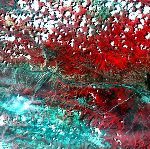
The data set is remote sensing image of Resource 3 No. 02 (ZY3-02). ZY3-02 was successfully launched from Taiyuan Satellite Launch Center at 11:17 on May 30, 2016 by Long March 4 B carrier rocket. China-made satellite imagery will be further strengthened in the areas of land surveying and mapping, resource survey and monitoring, disaster prevention and mitigation, agriculture, forestry and water conservancy, ecological environment, urban planning and construction, transportation and other fields. List of files: ZY302_PMS_E98.8_N37.4_201707_L1A0000156704 ZY302_PMS_E100.4_N37.0_20171127_L1A0000217243 ZY302_TMS_E99.5_N37.0_20170717_L1A0000160059 ZY302_TMS_E100.3_N36.6_20171127_L1A0000217279 ZY302_TMS_E100.4_N37.0_20170529_L1A0000139947 Folder Naming Rules: Satellite Name Sensor Name Central Longitude Central Latitude Acquisition Time L1****
To respect the intellectual property rights, protect the rights of data authors, expand services of the data center, and evaluate the application potential of data, data users should clearly indicate the source of the data and the author of the data in the research results generated by using the data (including published papers, articles, data products, and unpublished research reports, data products and other results). For re-posting (second or multiple releases) data, the author must also indicate the source of the original data.
三江源国家公园星空地一体化生态监测及数据平台(SJYNP)
1.Dataset of plant distribution investigation in Three-River-Source National Park (2008-2017)
2.Dataset of ZY-3 satellite images (2017)
3.Dataset of GF-1 satellite images (2017-2018)
4.Dataset of wild animal distribution investigation in Three River Source National Park (2017)
5.Dataset of ZY-3 02 satellite images (2017)
6.The dataset of community statistics of each county in Three-River-Source National Park (2017)
No record
No record
Sign In to add comments

三江源国家公园星空地一体化生态监测数据平台 © 2018-2021 陇ICP备05000491号 | All Rights Reserved
|  京公网安备11010502040845号
数据中心技术支持: 数云软件
