The dataset of spatio-temporal water resources distribution in the source regions of Yangtze River and Yellow River (1998-2017)
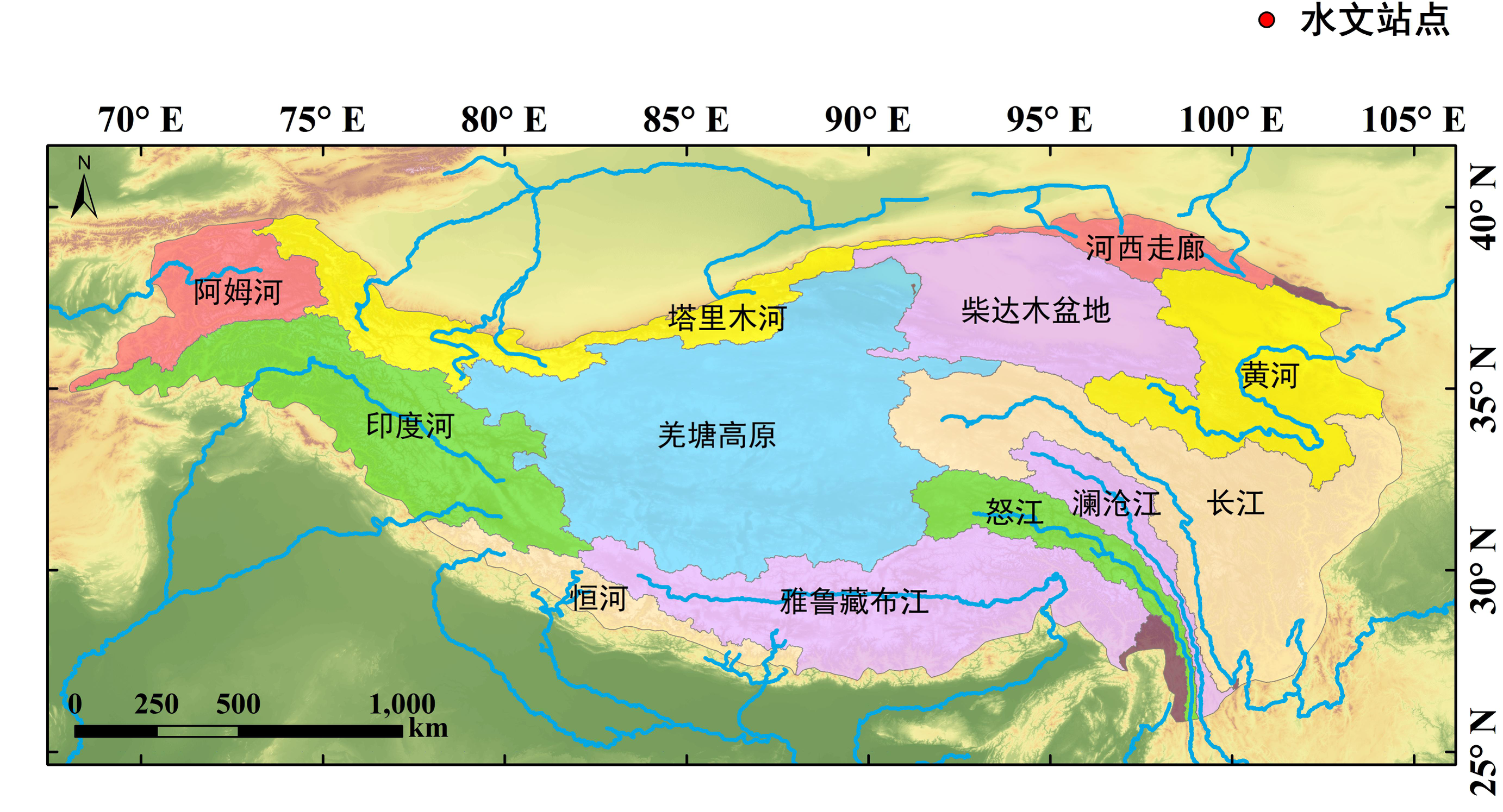
This data is a simulated output data set of 5km monthly hydrological data obtained by establishing the WEB-DHM distributed hydrological model of the source regions of Yangtze River and Yellow River, using temperature, precipitation and pressure as input data, and GAME-TIBET data as verification data. The dataset includes grid runoff and evaporation (if the evaporation is less than 0, it means deposition; if the runoff is less than 0, it means that the precipitation in the month is less than evaporation). This data is a model based on the WEB-DHM distributed hydrological model, and established by using temperature, and precipitation (from itp-forcing and CMA) as input data, GLASS, MODIA, AVHRR as vegetation data, and SOILGRID and FAO as soil parameters. And by the calibration and verification of runoff,soil temperature and soil humidity, the 5 km monthly grid runoff and evaporation in the source regions of Yangtze River and Yellow River from 1998 to 2017 was obtained. If asc can't open normally in arcmap, please delete the blacks space of the top 5 lines of the asc file.
Data is ASCII format, data naming method: observation item + date, such as: acc_et.199801.txt The runoff unit is mm, and the evaporation unit is mm. It can be opened by software such as arcgis.
To respect the intellectual property rights, protect the rights of data authors, expand services of the data center, and evaluate the application potential of data, data users should clearly indicate the source of the data and the author of the data in the research results generated by using the data (including published papers, articles, data products, and unpublished research reports, data products and other results). For re-posting (second or multiple releases) data, the author must also indicate the source of the original data.
“地球大数据科学工程”专项“时空三极环境”项目(项目编号:XDA19000000)“青藏高原水资源时空动态”子课题(子课题编号:XDA19070301)
No record
No record
No record
Sign In to add comments

三江源国家公园星空地一体化生态监测数据平台 © 2018-2021 陇ICP备05000491号 | All Rights Reserved
|  京公网安备11010502040845号
数据中心技术支持: 数云软件
