Precipitation data on Tibetan Plateau (2000-2015)
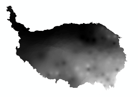
The Qinghai Tibet Plateau belongs to the plateau mountain climate. The precipitation, its seasonal distribution and the change of precipitation forms have been one of the hot spots in the global climate change research. The data includes precipitation data of Qinghai Tibet Plateau, with spatial resolution of 1km * 1km, temporal resolution of month and year, and time coverage of 2000, 2005, 2010 and 2015. The data are obtained by Kring interpolation of meteorological data of National Meteorological Science Information Center. The data can be used to analyze the temporal and spatial distribution of precipitation over the Qinghai Tibet Plateau. In addition, the data can also be used to analyze the temporal and spatial variation of precipitation over the Qinghai Tibet Plateau, which is of great significance to the study of the ecological environment of the Qinghai Tibet Plateau.
The data is stored in TIF format and can be opened and read by ArcGIS, ENVI and other software
To respect the intellectual property rights, protect the rights of data authors, expand services of the data center, and evaluate the application potential of data, data users should clearly indicate the source of the data and the author of the data in the research results generated by using the data (including published papers, articles, data products, and unpublished research reports, data products and other results). For re-posting (second or multiple releases) data, the author must also indicate the source of the original data.
泛第三极环境变化与绿色丝绸之路建设专项(XDA20000000)
No record
No record
No record
Sign In to add comments

三江源国家公园星空地一体化生态监测数据平台 © 2018-2021 陇ICP备05000491号 | All Rights Reserved
|  京公网安备11010502040845号
数据中心技术支持: 数云软件
