Remote Sensing Snow Cover Days Data Product for Sanjiangyuan National Park (2000-2020)
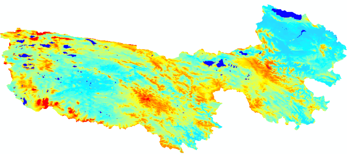
The Sanjiangyuan National Park is located in the hinterland of the Qinghai Tibet Plateau, the third pole of the Earth. It consists of the Yangtze River Source Park, the Yellow River Source Park, and the Lancang River Source Park, with a total area of 123100 square kilometers. The remote sensing snow cover days data product of Sanjiangyuan National Park is based on the daily cloudless snow cover area of 500 meters in China from 2000 to 2020. It is calculated based on the sum of the number of snow cover days observed in a hydrological year, with the hydrological year from September 1 to August 31 of the following year. The range of snow days is 0-365 days or 366 days, with an invalid value of -1. The data format is TIFF, the data projection is WGS84 projection, and the resolution is 500m.
The product is named sjy_ MODIS_ Hydrological year_ Scd
To respect the intellectual property rights, protect the rights of data authors, expand services of the data center, and evaluate the application potential of data, data users should clearly indicate the source of the data and the author of the data in the research results generated by using the data (including published papers, articles, data products, and unpublished research reports, data products and other results). For re-posting (second or multiple releases) data, the author must also indicate the source of the original data.
三江源国家公园星空地一体化生态监测及数据平台(SJYNP)
No record
No record
No record
Sign In to add comments
Resource Provider: HAO Xiaohua

三江源国家公园星空地一体化生态监测数据平台 © 2018-2021 陇ICP备05000491号 | All Rights Reserved
|  京公网安备11010502040845号
数据中心技术支持: 数云软件
