Vegetation quadrat survey dataset in the Three-River Headwater Region (2017)
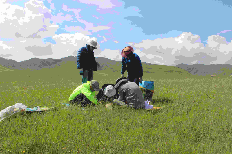
The data set contains vegetation quadrat survey data for Qumalai, Mado and Hoh Xil from August 3, 2017, to August 9, 2017. The main survey contents are coverage, altitude and above-ground biomass. It covers three vegetation types: alpine grassland, alpine wetland and alpine meadow. The latitude, longitude, altitude, total coverage, species name and quantity of the quadrat were recorded, and three samples of each species were selected to measure the altitude, the total above-ground biomass, and the above-ground biomass of each category.
Shixiao Xu, Qi Li, Linyong Hu.Vegetation quadrat survey dataset in Three-River Headwater Region(2017).Space-Air-Field Integrated Eco-Monitoring and Data Infrastructure of the Three-River-Source National Park. 2018
To respect the intellectual property rights, protect the rights of data authors, expand services of the data center, and evaluate the application potential of data, data users should clearly indicate the source of the data and the author of the data in the research results generated by using the data (including published papers, articles, data products, and unpublished research reports, data products and other results). For re-posting (second or multiple releases) data, the author must also indicate the source of the original data.
1.Drone photoes of Qumalai alpine meadow plot (2018)
2.Drone orthophoto image and DSM of Qumalai alpine meadow plot (2018)
3.Drone orthophoto image and DSM of Qinghai Hoh Xil plot (2018)
4.Drone photoes of Qumalai wetland plot (2018)
5.Drone orthophoto image and DSM of Qumalai wetland plot (2018)
6.Aerial Drone photos of Hoh Xil plot (2018)
7.Rare animals survey dataset for the Three-River Headwater Region (2016-2017)
No record
No record
Sign In to add comments
Principal Investigator: HU Linyong 徐世晓 LI Qi
Resource Provider: HU Linyong LI Qi

三江源国家公园星空地一体化生态监测数据平台 © 2018-2021 陇ICP备05000491号 | All Rights Reserved
|  京公网安备11010502040845号
数据中心技术支持: 数云软件
