Remote sensing products of snow depth in Sanjiangyuan (1980-2020)
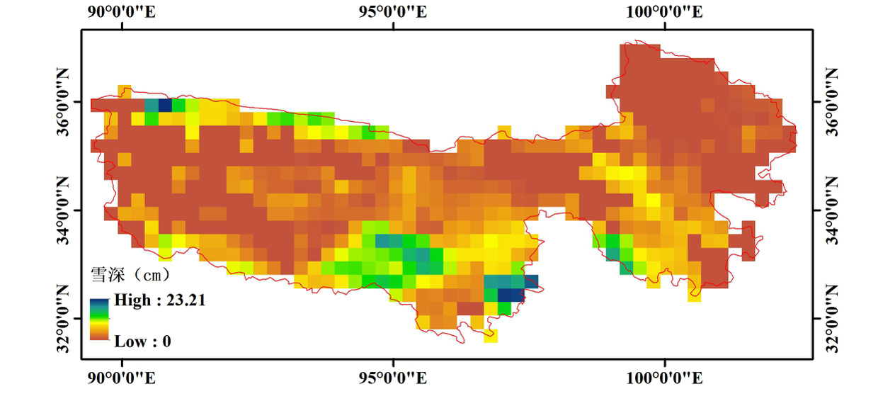
This dataset was derived from long-term daily snow depth in China based on the boundary of the three-river-source area. The snow depth ranges from 0 to 100 cm, and the temporal coverage is from January 1 1980 to December 31 2020. The spatial and temporal resolutions are 0.25o and daily, respectively. Snow depth was produced from satellite passive microwave remote sensing data which came from three different sensors that are SMMR, SSM/I and SSMI/S. Considering the systematic bias among these sensors, the inter-sensor calibrations were performed to obtain temporal consistent passive microwave remote sensing data. And the long-term daily snow depth in China were produced from this consistent data based on the spectral gradient method.For header file information, refer to the data set header.txt.
Data name: region_YYYYDDD.txt,’YYYY’represents year, DDD reprensents Julian day.
To respect the intellectual property rights, protect the rights of data authors, expand services of the data center, and evaluate the application potential of data, data users should clearly indicate the source of the data and the author of the data in the research results generated by using the data (including published papers, articles, data products, and unpublished research reports, data products and other results). For re-posting (second or multiple releases) data, the author must also indicate the source of the original data.
被动微波遥感雪深反演中积雪特性于下垫面的散射余辐射激励研究(41771389)
中国积雪特性及分布调查第1课题 “中国典型积雪区积雪特性地面调查”(2017FY100501)
No record
No record
No record
Sign In to add comments

三江源国家公园星空地一体化生态监测数据平台 © 2018-2021 陇ICP备05000491号 | All Rights Reserved
|  京公网安备11010502040845号
数据中心技术支持: 数云软件
