Temporal and spatial matching pattern data and maps of water and soil resources on Tibetan Plateau (resolution 1km) (2008-2015)
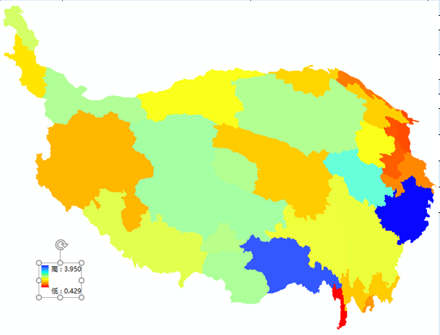
The Tibetan Plateau in China covers six provinces including Tibet, Qinghai, Xinjiang, Yunnan, Gansu and Sichuan, including Tibet and Qinghai, as well as parts of Xinjiang, Yunnan, Gansu and Sichuan. The research on water and soil resources matching aims to reveal the equilibrium and abundance of water resources and land resources in a certain regional scale. The higher the level of consistency between regional water resources and the allocation of cultivated land resources, the higher the matching degree, and the superior the basic conditions of agricultural production. The general agricultural water resource measurement method based on the unit area of cultivated land is used to reflect the quantitative relationship between the water supply of agricultural production in the study area and the spatial suitability of cultivated land resources. The Excel file of the data set contains the generalized agricultural soil and water resource matching coefficient data of the Tibetan Plateau municipal administrative region in China from 2008 to 2015, the vector data is the boundary data of the Tibetan Plateau municipal administrative region in China in 2004, and the raster data pixel value is the generalized agricultural soil and water resource matching coefficient of the year in the region.
You can use EXCEL to open, view and analysis the data in tabular form, the vector data and the raster data can be opened with arcgis software.
To respect the intellectual property rights, protect the rights of data authors, expand services of the data center, and evaluate the application potential of data, data users should clearly indicate the source of the data and the author of the data in the research results generated by using the data (including published papers, articles, data products, and unpublished research reports, data products and other results). For re-posting (second or multiple releases) data, the author must also indicate the source of the original data.
泛第三极环境变化与绿色丝绸之路建设专项(XDA20000000)
No record
No record
No record
Sign In to add comments
Resource Provider: DONG Qianjin DONG Lingxiao

三江源国家公园星空地一体化生态监测数据平台 © 2018-2021 陇ICP备05000491号 | All Rights Reserved
|  京公网安备11010502040845号
数据中心技术支持: 数云软件
